Cosmere Technologies Logo

About Us

We, at Cosmere Technologies, revolve around the promise with which we began this company. With the vision of helping businesses adopt technology, we today serve some of the best and most renowned architectural, engineering, and construction companies across the globe. Right from BIM services, CAD services, and Geospatial services, to Visualization, we provide everything to take your business a notch above the competition.

Our Gallery

You scan we model !

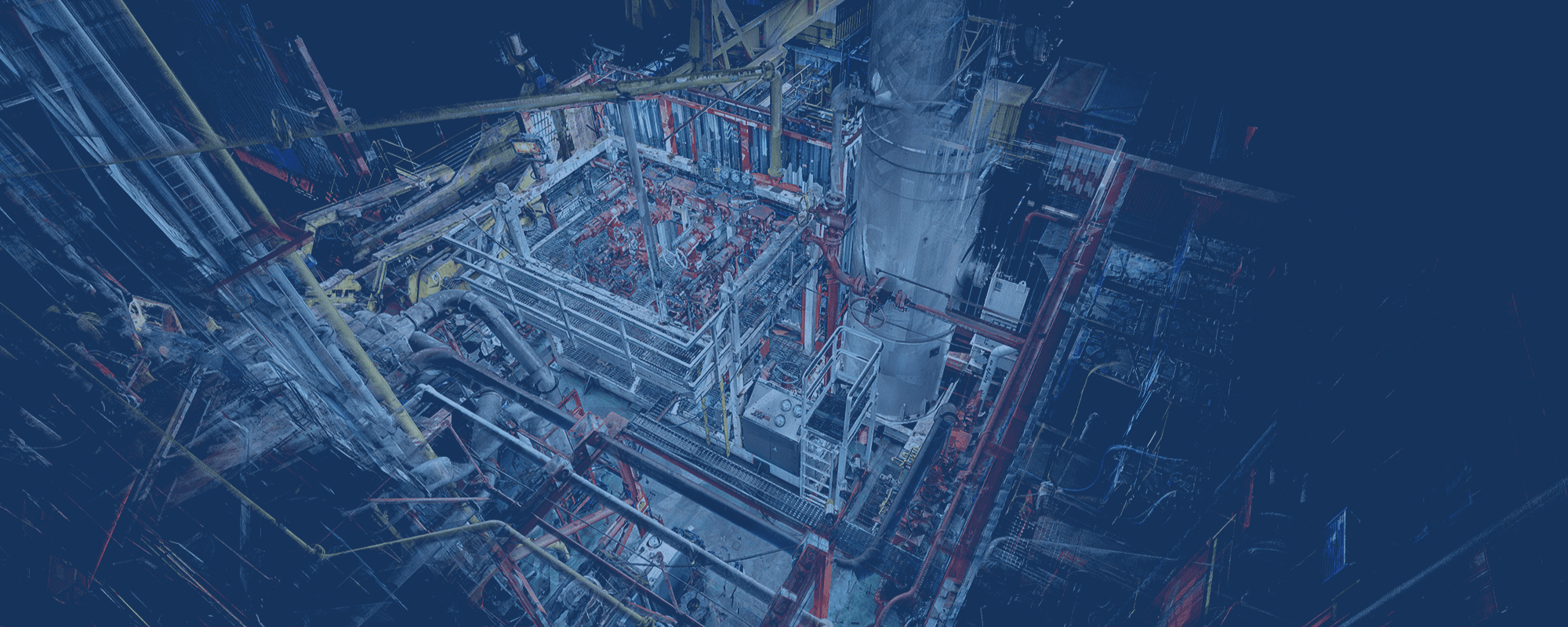
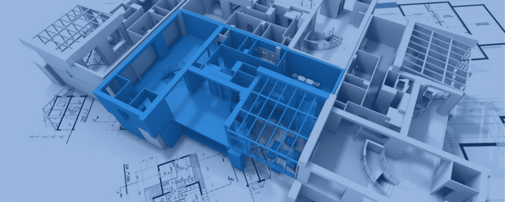
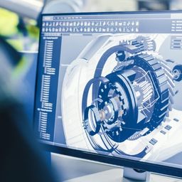
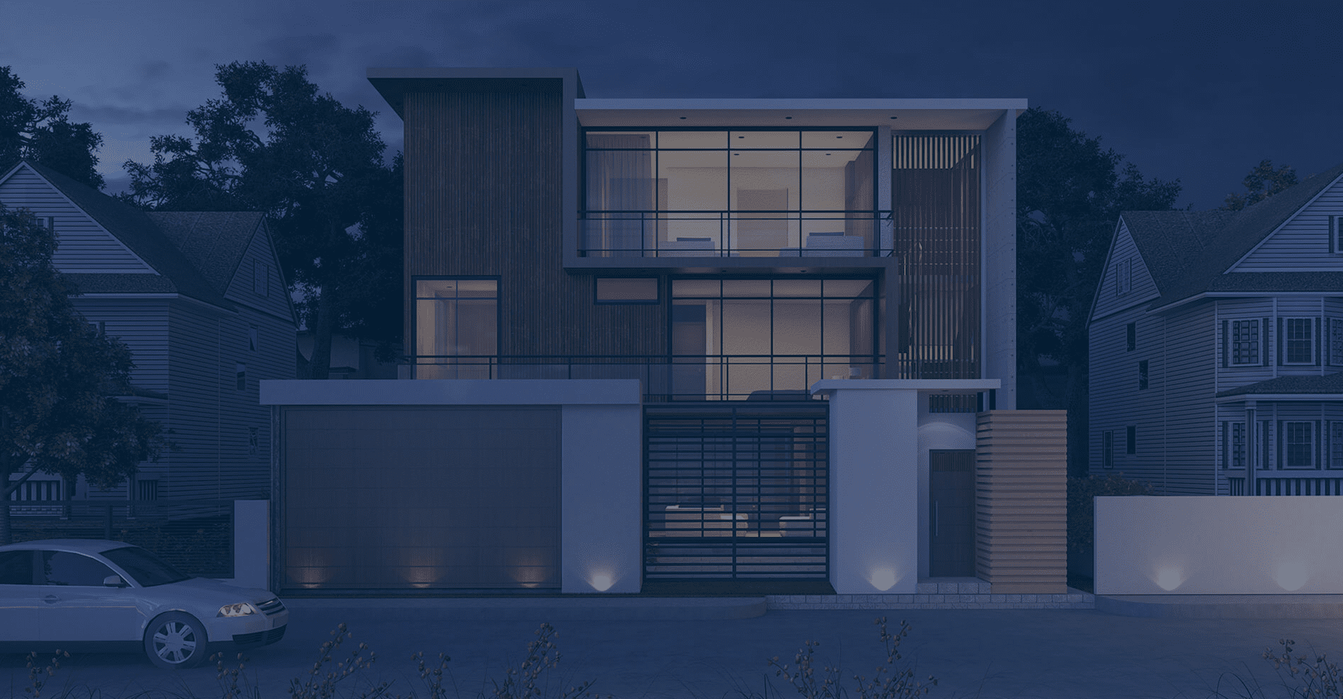
We provide point cloud to BIM modelling services to a wide range of construction industry sectors, including architects, general contractors, Mechanical/Plumbing/HVAC contractors and civil contractors. The intelligent As-built model we create will contain all the building data embedded in it including the current building elements such as beams, columns, ceilings, roofs, walls, ducts, pipes and thus can be used to analyze the existing conditions as well as for renovation and demolition purposes.

Scan to 3D Model

Scan to 2D drawings

Intelligent Model & Isometric drawings

As-built scan v/s Design Model Analysis

Point cloud Simulation & Clash Analysis

Deformation Analysis

Scan V/s Scan Compare & Reporting

Pointcloud Visualization

Our Pointcloud Services

We have successfully completed a number of point cloud conversion projects taking advantage of our vast experience in BIM modelling and rich domain knowledge. Point cloud to BIM service can be used to validate the key conditions and services of the built environment of a project and can be used as an integral component throughout the entire project life cycle. Right from acquiring, storing, integrating, analysing, displaying as well as manipulating the spatial as well as non-spatial data, we have experts who can help you with it all.

Scan to 3D Model

Scan to 2D drawings

Intelligent Model & Isometric drawings

As-built scan v/s Design Model Analysis

Point cloud Simulation & Clash Analysis

Deformation Analysis

Scan V/s Scan Compare & Reporting

Pointcloud Visualization

Benefits and applications of Point Cloud Modeling

GIS Services

We offer excellent GIS Geospatial services for businesses looking to prepare electronic maps by leveraging the power of GIS technology. With us, you can visualise geographical data, perform analysis, and manage the collected data efficiently. We help businesses integrate GIS services with CAD services by using GIS mapping as well as high-end GIS data conversion software.


Know More

LIDAR Services

In the Lidar Technology, lasers take detailed scans of a subject, taking measurements and creating point-cloud data in an xyz axis. This point data is reconstructed into a 3D model. While accurate,lidar only captures 3D data leaving color out.

We, at Cosmere Technologies, offer a huge variety of LiDAR data processing services that help in making DEM (Digital Elevation Models), DTM (Digital piece of Ground Models), and Triangulated Inverse Networks (TIN) to supply extremely correct detail of the Earth’s surface. Our LiDAR drafting services have helped industries take advised selections concerning their business.


Know More

Photogrammetry

Photogrammetry is another method by which reality capture is achieved. This type of reality capture uses photographs to reconstruct a 3D image. While this method can require multiple photos to complete a model (typically with a minimum of 2), it can also capture the colors of the  subject, translating them into the texture map of the model


When it comes to offering photogrammetry services, Cosmere Technologies is one of the most trusted names in the market. We satisfy our clients by aiding their needs with the simplest quality and competitive price. We have a team of excellent Geospatial experts who offer different photogrammetry services ranging from aerial triangulation, planimetric mapping, and more. 

Know More
img
img

Design vs As-Built

With the help of 3D technology, you can get an assessment of all the variance that can be between the design and As-built condition on the site. The 3D scan data of the as-built condition can be superimposed on the design drawings while generating the report of the variance & unacceptable tolerances.

img
img

Equipment Stimulations

When it comes to installation or retrofitting of the equipment, planning along with the mm accurate understanding of the site is very critical. Add the ability to simulate movement, you will prevent dismantling wastage or any kind of damage.

img
img

Clash Analysis

With our point cloud services, we can prepare a detailed clash detection analysis comparing design information with the real-world scanned data. Thanks to our proactive approach, you can easily identify any issue beforehand which can save time and money that you might have spent on rework and dismantling.

img
img

Logistic Analysis

When it comes to dismantling or rerouting it costs you a lot of money. With Pointcloud services, you can actually save this time and money. Thanks to reality capture technologies and analysis, you can do a thorough analysis of the paint cloud data and plan better while saving huge time and money.

img
img

Service Route Verification

With the help of reality capture as well as analysis, we can actually help plan a routing for service on the site preventing all those costly dismantlings and rework processes.

img
img

Accurate Record of the Facility

Thanks to our laser scanning process, you can get an accurate record of all the current conditions of a facility. As a result, you will get the record which further can be used by the designing team or their subcontractor for proper coordination. Since these records will have all the existing conditions, the accuracy is quite guaranteed. This can also be used for purposes like fire accidents, insurance purposes, and even recreation of facilities.

img
img

​​Virtual tool with accurate dimensions

With reality capture, you can easily help create to-scale models which further can be used for the generation of the dimensions without having to visit the site. With this, anyone can visit a location without being there physically.

img
img

Accurate BIM/CAD models & drawings from Scan Data

At Cosmere, we also help create mm accurate BIM/CAD models and drawings along with isometric from scan data. This is the fastest means of capturing As-Built conditions. This is mostly used for things like construction validation and even for record purposes for later renovations or retrofits.

Why choose Us

We understand the complexities involved in the development of intelligent As-built Building Information Models and have devised solutions for addressing the challenges involved in handling large projects. From the in-depth knowledge gained from a variety scan to BIM projects, we have developed a best methods to ensure that BIM deliverables modeled from the point cloud serves the purpose of the clients .Cosmere’s model team is one of the most experienced in the industry, having evolved by working across software platforms, developing work flows, and creating 3D surface models with an accuracy of +/- 2mm in various industry sectors.

Point Cloud in Action

Latest news

Our Blog

Vaishali Sonik

The application of “Scan-to-BIM” technology offers significant benefits to interior designers, enhancing their ability to create functional, aesthetically pleasing, and efficient interior …

Vaishali Sonik

We would all agree that BIM has become an integral part of several AEC industries and transportation has not been left behind. …

Vaishali Sonik

We all would agree that 4D BIM has drastically transformed the way construction project is managed. Right from the design phase to …

10 Benefits of Scan to BIM For Interior Designers 

The application of “Scan-to-BIM” techn...

BIM & Transportation | How BIM is Transforming The Transportation Design! 

We would all agree that BIM has become an integral...

Architectural visualisation

With us, you can easily extract the information from the data through dynamic maps. Our Geospatial services offer a way to businesses to extract helpful insights from the data including resource locations, utility mapping, demographic behaviour, and more.

Are you looking for a quality-driven approach to gathering insights?
Our 3D BIM Modeling Services

Our team at Cosmere will deliver cost-effective & precise 3D BIM models with the goal of achieving efficiency on site.

GIS Services

We offer excellent GIS Geospatial services for businesses looking to prepare electronic maps by leveraging the power of GIS technology. With us, you can visualise geographical data, perform analysis, and manage the collected data efficiently. We help businesses integrate GIS services with CAD services by using GIS mapping as well as high-end GIS data conversion software.

3D BIM Modeling Services
CAD

All our BIM experts, with the help of their VDC capabilities in Common Data Environment (CDE), develop 3D federated models in Revit. Our BIM consulting services help bring excellent efficiency of BIM to building construction businesses. Be it any kind of construction project - residential, industrial, healthcare facilities, or recreational places, we deliver 3D BIM modeling services that will bring much-needed design coordination to the project.

Understanding the design intent and creating a comprehensive Revit 3D BIM model with the goal of improved collaboration is what we provide at Cosmere. We have many experienced drafters, structural & MEP engineers, BIM experts, and architects on our team who will bring to you the expertise in 3D architectural modeling services.

Building Intelligence Modelling
Our Geospatial Service Corner
Looking for a Geospatial Services Company? Look No Further & Contact us!
Why Choose Cosmere Technologies?

There are several reasons why you should consider hiring Cosmere Technologies for excellent services.

Wondering if Cosmere Technologies is the right company for you?